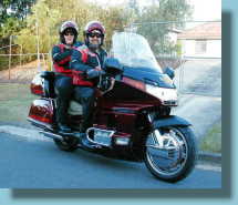
Let's go!
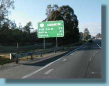
Highway 1 signs
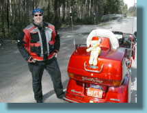
Morning Tea stop
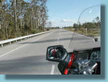
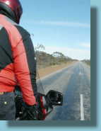
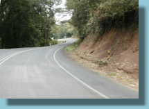
Good highway
Tucked up for the night
Australian Wing Riders Association (Qld) Inc
Clockwise Around Australia
Clint and Charleen Lovell (profile) have always dreamed of travelling
around Australia via Highway One. Not necessarily to do the tourist thing,
but purely for the Ride. Over the years they have travelled more than half
a million kilometres on Australia's highways and byways and have done most of
the Highway One route, but never all in one go. See
their Travel Map
They finally got their chance and on Saturday 30 August 2003,
departed from the Gateway Bridge and headed south. Story follows:
Day One - Brisbane to Raymond Terrace.
Bevan came to our place and escorted us to the Gold Coast. All pretty plain
sailing from there on. The Pacific Highway is nothing special. Only problem was
a failure to slow for an eighty zone quick enough to keep the nice policeman
happy. We stretched the limits a bit with a 345km ride from Grafton to
Coolongolook before refuelling. Luckily, we had a strong tail wind, but we
still had three litres left in the tank.
Got to Raymond Terrace without further worries . Lucille was cleaned up and
covered every night of the trip. The protective coverings on the front
were wonderful (thanks Eddie). With a light coating of Armourall the
insects didn't stick.
776km for the day. Back to Index
 Let's go! |
 Highway 1 signs |
 Morning Tea stop |
|
 Good highway |
 Tucked up for the night |
||
Day Two - Raymond Tce to Bateman's Bay
Took the Freeway into Sydney in the early morning. It was a Sunday so no peak
hour. Under the Harbour and out the other side fairly easily. Stopped for a
cuppa at Bulli Pass overlooking Wollongong. Lots of push bikies on the road.
After there the roads improved a lot. Lots of sweeping bends that the 'wing
loves. The rest of the day into Bateman's Bay was a great ride. Lunch was a
great feed of fish and chips at Ulladulla. There was lots of damage to
trees from a recent storm, with many downed trees chopped into neat piles beside
the road. Glad we didn't have to ride though that. We stopped at our
Uncle and Aunt's place there for the night and caught up with a cousin I had not
seen for 40 years.
Total for the day - 447km Back to Index
Day Three - Bateman's to Melbourne
The mornings are getting colder. More good roads to the Border, but they
were still a bit wet from overnight rains. We stopped for morning tea
where we saw a bit of sun, but the howling wind almost froze our cuppa.
Took a photo of the bike packed for a long trip. If I look a bit overweight it
is because of the thermal underwear, shirt and vest under the ride jacket.
Really!! Into Victoria and things straightened out a bit - but it kept
getting colder!
Made it to Melbourne by 4pm to stay the night with No.2 Son, Adam. He lives very
close to Hwy 1 so no navigating to do.
Total for day - 754km Back to Index
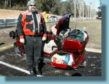 How a bike is packed |
 Statues from tree stumps |
 Keep on Hwy 1 |
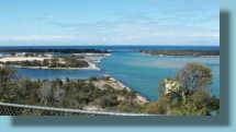 Lakes Entrance |
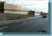 Melbourne has a freeway... |
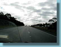 ...and a cold sky |
Day Four - Melbourne to Kingston S.E. (don't know what S.E. stands for)
COLD - WET - WINDY. Glad we live in Qld.
The weather was not kind to us with intermittent showers and a strong cross-wind
all day. From the north in the morning and the south in the afternoon. The roads
were uninspiring as well. We had done the Great Ocean Road before and decided to
stay on Hwy 1 as per our plan. Next time I'll go GOR. Today's weather would
have made it treacherous though. Mount Gambier saw it overcast and when we
went up to look at the lake it was quite dark and raining. The lake was
still blue though, so that dispels one suspicion we had - the blue is definitely
not a reflection of the sky.
Another couple of hundred kays of crosswinds and we came to
Kingston. It is a nice town and the Motel very good. Caught up on washing,
even GoldBear got a tub as he was looking a bit grotty from the road spray.
The beach is currently covered in a couple of metres of seaweed. Good pub
though,
and great seafood cafe.
Total for day - 641km Back to Index
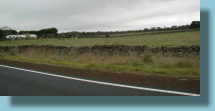 Cold skies and rock walls |
 You can just see the sea on our left. |
||
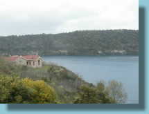 Mt Gambier blue lake |
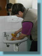 Bear bath |
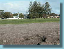 Seaweed beach |
|
Day
Five Kingston to Pt Pirie
Left Kingston to a reasonably fine morning with a few clouds. Still cool but
bearable with our long johns on.
Travelled through an area called the Coorong which is the area the Murray river
empties into before going into the sea. Up around Lake Alexandrina and then
across the Murray. After that it was mostly freeway driving into Adelaide. Strange entrance as the freeway just
suddenly changes to a 60kph suburban road. Everyone hard on brakes. They
probably police it as the locals stop hard as well.
Through Adelaide and a fuel and coffee stop and things warmed up a bit.
Eventually found internet access at Two Wells, a little north.
Rest of the day was quite warm and sunny. We travelled slowly as we only had to
go to Port Pirie to stay with a friend there, Coral. Hadn't seen her since 1996.
Great to catch up and she took us of a tour of her town. Pt Pirie is a working
town with all the ore from Broken Hill being taken there, then smelted and put on
ships. Many sheep and wheat farms around as well as a viable fishing industry.
Lots of new houses being built as well as charming older cottages.
We were treated to a great meal.
Total km for day 517. Back to Index
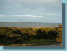 The Coorong |
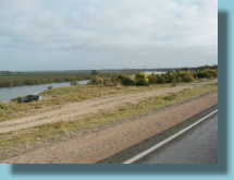 Traveling beside the Murray |
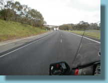 Freeways into Adelaide |
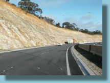 Big cuttings... |
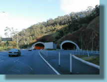 ...and tunnels |
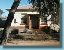 Coral's at Pt Pirie |
Day Six Pt Pirie to Ceduna
We left at our usual 6am in the dark and cursed the Flinders Ranges for blocking
the rising sun. Lots of fog through Port Augusta. From then it was a lovely sunshiny day and we were
having a good time. At Kimba (half way across Australia) we were needing fuel but the only servo was
suffering a leak in their LP gas cylinder and were reluctant to sell any. We
were surrounded by the Fire Brigade while we refuelled but the smell of petrol
vapour was much stronger than LP gas. They requested that we not start Lucille
close by so we had to use the Valkyrie style reverse gear to back off to a safe
distance.
Charleen had a drive for about 80 km. She was a bit nervous, but everything went
OK.
They have an unusual way of marking accident sites on the Eyre Hwy in S.A.
Poles are erected, red for an injury and black for a death. There are way
too many poles, but the message is clear.
We were travelling well and got to Ceduna by lunchtime. They have a lovely
oyster bar where you can get freshly shucked Au Natural for $7.50 per dozen. We
had a couple. Yum. Stayed in Ceduna and had a quiet afternoon and a seafood
dinner at the Sailing Club. Prawns were a bit off but we survived OK and they
refunded some of our money.
The night was punctuated by a domestic dispute in a nearby cabin, so we didn't
get much sleep that night.
Total Klms 574 Back to Index
Day Seven
Ceduna to Cocklebiddy
Early departure despite the cold. Lots of mist in the air and on the
windscreen. Penong is famous for its many windmills, but we could only see
a few in the mist, just ghosts of windmills. At Nundroo it had cleared up
a bit and stopping for fuel and coffee, we met a guy on a Harley who was
nearing the end of his anti-clockwise journey. Had no troubles on the Harley!!
On to the Nullarbor and the wonderful fuel prices. Up to $1.30 per litre! Just
before the border the road goes quite close to the cliffs and we stopped in for
a look. As we turned in, so did a motorhome. The driver came up to us and
introduced himself as a 'Wing Rider. It was Craig Brown. He owns a Teal '94 and
has come on a run with us, the Mapleton ride of Spicky's. Since then he and his
wife have been travelling in their motorhome, but we can expect to see more of
them when they finally return. While talking to them, a whale surfaced nearby
and spent five minutes slapping the water with its tail while we all watched.
Leaving them, we crossed the WA border to threatening skies and
after Eucla we decided to put on the wets. Just as well as the rest of the
afternoon was spent in the rain. The highway here is sagging under the weight of
all the heavy transports and the result in wet weather is two ribbons of water
in the wheel tracks. We had to ride for quite a ways on the hump in the
middle. Good practice for bike control in pouring rain.
After arriving wet and cold in Cocklebiddy, we got ourselves a lovely big dry
room. It was one of their budget rooms. We could have had a smaller one with a
TV for $30 more. Ours also had an awning for Lucille to park under. We spread
everything out to dry and got a
great night's sleep after our previous interrupted one. .
Total kms
760. (big day) Back to Index
 Foggy morning windscreen |
 Windmills in the mist |
 Nullarbor means no trees |
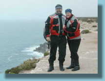 On the cliffs of the bite. (She isn't pushing) |
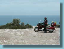 Clint and Lucille whale watching |
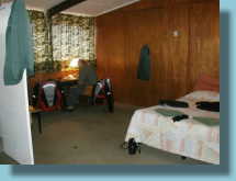 Cocklebiddy drying room |
Day Eight, Cocklebiddy to Esperance.
Due to the time differences, we had sun already up when we left at our usual
6am. Thought that would be warmer but we were wrong. We soon after drove into a
fog and stayed in it for two hours until we got to Balladonia. All along the 90
Mile Straight was fog and cold with heaps of kangaroos. Our baby sho roos seemed
to be working though as they all jumped away as we got close. I still wouldn't
put full trust in them though. There was even a rainbow, but it was so cold it
had no colour in it. Check the picture.
At Balladonia, we stopped for fuel and must have looked really cold, as the lady
at the counter called out to the kitchen for a nice warming coffee and freshly
baked Muffin. Lovely.
Most of this area , though known as the Nullarbor (no trees) actually has trees
lining the road for miles. They are mostly Salmon gums and are very pretty
with their smooth reddish (salmon) coloured trunks.
At Norseman we
caught up to a couple who were travelling in a coaster bus and pulling a trailer
with a Valkyrie trike on board. They knew a couple of people we did so we had a
good look over it. Personally, I think it is a waste of a good Valk, but each to
his own.
Then it was on south to Esperance. Charleen had another drive for about 120km
this time and even got to go through a few corners. She reckons I'm improving as
a pillion. It was a hilarious stop though as she likes to find a solid place to
stop and put the feet down. We rolled off the road into the wide parking area of
a produce shed. We were immediately set upon by a couple of over-friendly
terriers who tried to jump aboard. There was a lot of noise and a little
swearing from Charleen who didn't know where the stand was because of my big
feet. I sat still through it even though laughing a lot. We stayed upright and a
bemused lady came out and collected the dogs.
We found nice digs in the very pretty coastal town of Esperance and and spent a
lovely afternoon washing, shopping and internet surfing. I managed to log
on at the same time as Camo, who was house-sitting for us and we caught up.
Total km 643. Back to Index
Day Nine - Esperance to Manjimup
After getting an early morning photo, we left Esperance at our usual hour and made our way further westward towards
Albany. Roads were pretty straight and easy going. Just dial in 110kph, set the
cruise and forget. There were no advisory signs less than 90. The only hills in
sight were the Stirling ranges, but we didn't get very near them. With the
cruise set I could often stand up for a while, so long as there was no other
traffic. Helped to keep the joints free.
Getting closer to Albury, things started to bend a bit. Another fill up (prices
here are awful) and straight roads again until Denmark. Around here things got a
lot better. This is the area of the big kauri trees. The road twisted up and
down the various valleys. Good smooth surface and no surprises. Had a lot of fun
until near Walpole, we spied darkening skies ahead. Oh well, don the wets, grit the teeth and
give her the gun. Even in the rain the going was good.
Some days you seem to get the riding just right and are completely in tune with
the road and the bike and this was one of those days. Probably the best
ride of the whole trip.
We finally wound up at
the timber town of Manjimup and found a motel where we could park Lucille
undercover for the night.
A great riding day really with a total of 725km. Back to Index
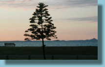 Esperance morning |
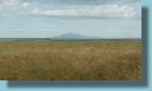 Stirling Ranges |
||
 Standing ride |
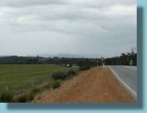 Rain ahead |
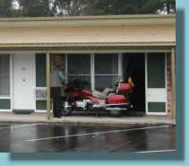 Under cover in Manjimup |
|
Day Ten - Manjimup to Perth
Not far to go today. A mere 300 to Perth where we decided we would get Lucille
serviced as we still have a long way to go. Need to look at that back tyre too.
The ride into Perth was fairly easy. All the town names ended in up. The
countryside nice and green under the spring rains - still coming down. We
coffeed at Mandurah and made a call to Causeway Honda, the Perth Goldwing
Dealer. Can't fit us in until tomorrow. Oh well. We followed the 1 signs into
the city and found a nice motel
where they let us park Lucille under cover just outside the 24hour reception.
Lots of admiring looks from the tourists. We picked up our parcel from the post
office. Before leaving home, we had posted over some warm weather gear for
the northern part of the journey and now was the time to make the changeover
from cold-climate to warm-climate clothing. We settled in for a long
afternoon of repacking. The weather was still cool, so the thermals undies and
vests stayed with us. But the heavy gloves, Draggin jeans etc were
replaced with lighter ones.
Total kms Just 323. Back to Index
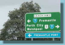 Follow the 1 signs |
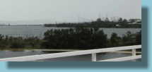 Perth in the distance in the rain |
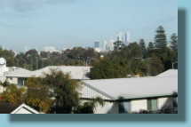 The city from our balcony |
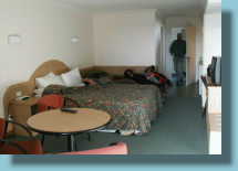 Our room |
Day 11 Perth to Cataby
We posted the leftover clothing back home and delivered Lucille to Causeway Honda.
While we were inspecting the rear
tyre to see if it could last the distance, we found a nail in the tread.
Luckily, it was holding the air in!
That decision being made for us, the next was the brand. With a choice of
another Metzler or a Bridgestone, we opted for the latter as that is what is on
the front. A matched set. Wow. Main reason for the choice was the hard wearing
property of the Bridgestone as we still had 10 thousand kays to go.
Handling and road comfort is another matter!
While we were there we got them to do a minor service as well and we also needed
a new visor for Charleen's helmet. She had dropped it fair on its visor back in
Pt Pirie and had been putting up with annoying scratches ever since.
We went in to town by bus and spent a few hours window shopping. Can't buy
anything, can't fit it in.
We managed to bump into an old friend who was also in Perth's Hay St Mall for a
couple of hours while on her way from Carnegie (1500km away) to Hong Kong.
Small, isn't it?
Back to Causeway and wait for a while, talked to Steve Ford, the owner, about
that mad Spicky he gets his accessories from.
Eventually, Lucille was ready and we set off but due to the lateness only went a
short way up the highway to Cataby where we got a so-so motel with undercover
for the bike and VERY expensive drinks. Nearly blew our daily budget.
Total for the day only 175. Back to Index
Day 12 Cataby to Carnarvon
Thought we'd leave the rain behind, but at 5am it was pouring down outside. It
stopped by six though and we were off. This part of Highway one is very familiar
to us from the C2C days. Lots of sheep farms but very wide nature strips either
side of the road for the wildflowers. Not many out yet, but in a month or so
they should be brilliant if this rain is anything to go by!!!
Around Greenough, just south of Geraldton, the gum trees have a soft wood and
the prevailing winds are fairly strong. The result - trees that grow
sideways. Check out the photos!
We dodged showers all day but only got wet occasionally.
At Overlander Roadhouse (the turn-off point for Steep Point) we headed north
into unfamiliar territory again - 10 years since we have been this way.
A couple of hundred kays of mostly straight roads and a few more rainstorms and
we rode into Carnarvon during the first downpour they had had for ages.
They were all pleased for the rain, but no one thanked us.
We found a good motel, gave Lucille a much needed cleanup and settled in for the
night.
Total for the day 745 Back to Index
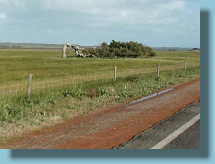
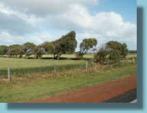 Greenough trees... |
 ....seem lazy |
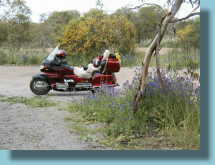 Morning tea amongst flowers |
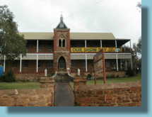 Northampton stone architecture |
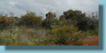 Roadside flowers |
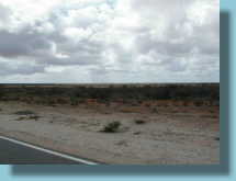 Dodging rainclouds. |
Day 13 - Carnarvon to Port Hedland
It was still raining at 3am but by six, the skies were just about clear. We made
our way back out to Hwy 1, fuelled up and off we went. There was still a cool
breeze and we were all dressed up in all our gear. The roads certainly
straighten out up north. Just the odd bend between straights that can be from 5
to 100km long. Most of the touristy 'things to see' are off the highway by
quite a way so we knew we were not going to see much but the highway. The
country has dried out considerably despite the rain.
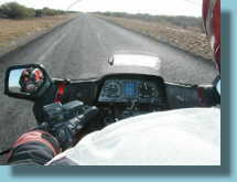
Charleen took over riding again and she rode through some strong cross winds and
into the sun with cattle often close to the sides of the road. She didn't
enjoy that too much. Near the
turn-off to Exmouth we decided we were about half way through our trip and
stopped for morning tea.
We were soon joined by Donald King, an American riding a BMW 650GS. He had
bought it specially for this trip. He was doing the anti-clockwise tour but
taking a bit longer than us. We are beginning to meet a few anti-clockwisers.
After that the wind died down a bit and the day quickly warmed up. We soon doffed our vests, then undid the coat
fronts, then changed to knitted gloves, anything to get the air flowing.
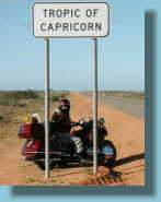
The photos show the countryside we were now in. Quite a sudden change
after crossing the Tropic of Capricorn.
We decided not to stop at Karratha (off the highway) and went on to Roebourne
for fuel. After one quick look at the town we pushed on another 200km to Port
Hedland.
Port Hedland is a big company town for the local BHP steelworks and is mostly
rusty red. We found digs for the night and met another couple anti-clockwising
on a BMW 1100GS. Seems the GS is the bike of choice for anti-clockwisers.
Total for the day a whopping 870km Back to Index
 Morning shadow |
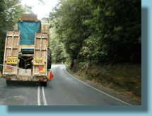
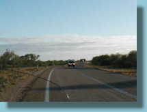 Wide load coming |
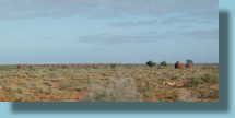 A few ant hills, dry country |
|
 |
 Charleen riding the crosswind |
||
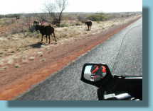 Constant hazard |
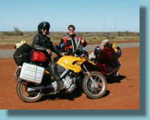 A yank on a 650GS |
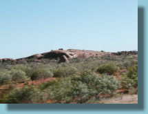 Granite outcrop |
|
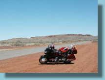 Lunch stop |
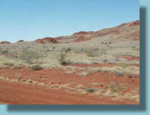 Spinifex covered hills |
 Port Hedland salt |
|
Day 14 - Port Hedland to Broome
Not nearly so far to go today but it was a long way between fuel stops. We have
noticed the consumption goes up dramatically with speed (and head-winds) so kept
it down. The countryside was mostly flat with a few stark hills and river
crossings. Most of the traffic was caravans or trucks. There were
heaps of caravans heading south, a sure sign that the Top End was warming up.
Trucks were a problem with buffeting, mostly when you are against the wind and
the truck us a forward control, like the centre picture below. First fuel stop was 275km and we arrived there 20km into the red light. The next stop was 285 and the wind howling in our faces. I filled Lucille up to
the brim, then added a bit more. After a 100km or so the wind died down and we
made it into Roebuck Roadhouse only 10km into the red.
We left Hwy 1 again to travel the 33 km into Broome where we are found a motel
and quickly got out of our warm clothing. We were really in the tropics
now. We donned our "tropical riding gear", which was t-shirt and shorts with
small slipper-like shoes to protect our feet, helmets and knitted Kevlar gloves.
Not really safe but it made the heat bearable for around town riding. For the
highway we still wore our normal kit. We posted more stuff home, thermals,
ride-jacket linings and polar fleece vests. Not going to be needed any more.
The rest of the afternoon was spent sight seeing.
Total km 598 Back to Index
Day 15 - Broome to Fitzroy Crossing
Had a sleep-in this morning as we didn't have far to go. Left around nine or so.
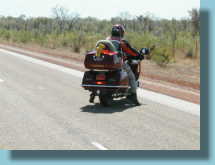
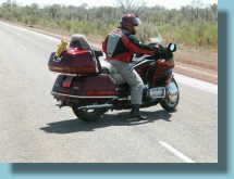
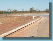
Soon we saw our first Boab trees, a sure sign we are in The Kimberleys. It was pretty straight driving so Charleen hopped on the front again. We were talking
about something and missed a turn-off. Charleen needs U-turn practice. Difficult
without me on the back and impossible with!
The days are getting hotter fast. We had posted home most of out warm gear as
we need places to store our riding gear. For the highway, we were now wearing long sleeved cotton shirts
under coats without liner, light trousers, light (not thermal) underwear. Boots
of course.
We reached Fitzroy Crossing at about 1.30pm and it was quite hot. Good to stop.
Lodgings were in 'safari style' tents. Quite nice really with a concrete floor
and iron roof enclosing the canvas tent with an en-suite tacked on the rear. All
facing the Fitzroy River with lots of nice lawns with sprinklers that would pop
up now and then. First time I've had to pay $130 for the privilege of one night
in a tent though. They did have 'normal' motel rooms but those were
another $60.00!!
Total km, only 398 Back to Index
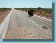
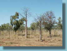 First boabs |
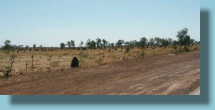 Many ant hills too |
 Charleen... |
 ...attempting... |
 ...a U-turn |
 The turn we missed |
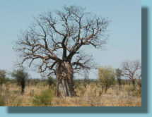 A better boab specimen |
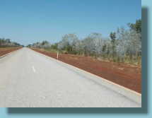 Lots of this stuff |
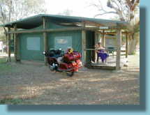 Our tropical hideaway |
Day 16 Fitzroy Crossing to Kununurra
Early start again although the sun was already up at 6am. Mostly eastward
travelling into it and my nose is starting to go red. Not a problem when we were
heading west, but the sunscreen has to come out now.
At a morning tea break we met a couple on a BMW 1150GS with trailer.
Clockwisers!
They were camping, but boy, what a lot of gear! His 30 litre tank was only
giving him 300km range so he was facing the same problems as us. We were on a
289km stretch without fuel so were travelling sedately.
We left them packing up and got into Halls Creek only 10km into the red zone.
Had a phone call from Camo, our house sitter, everything OK at home.
As we were leaving the BMW pulled in. This was to happen for the rest of the
day.
We had four stops for roadworks or cattle crossing and every time we had a chat
with the couple.
The day got hotter.
At another stop we met a couple on a Harley heading west. While they were
waiting for the road to clear the passenger had retreated to a nearby truck to
try and get shade. The stops really heated us up. Luckily for us we don't wear
much black.
Later we stopped for a drink of water and removed the sleeves from our coats.
That cooled things down a bit. We had a bit of a scare here though. The
roadside was freshly resurfaced with hard dirt and I parked and flipped down the
side stand. As I got off and turned my foot in the dirt, as usual, the
hard surface broke open. I took one step to reach for the left pocket and
the stand-block and the side stand suddenly broke through and the bike fell
against me. Charleen and I struggled but got Licille back up straight then
Charleen found a big rock nearby and we shoved that under the side stand.
"Phew".
One thing I noticed today, with quite a few corners to negotiate, the bike
seemed to be tipping into the corners quite easily. Then I realised I
wasn't doing the tipping but it was still leaning in. It seems with the
bit of riding Charleen had been doing, she was now unconsciously 'helping' me to
ride. Most riders who don't often sit on the back will do this.
Maybe partners who both ride get into a habit of helping each other. It is a
good feeling. I noticed that when Charleen was taking photos from the
back, the 'helping' ceased. It occurred to me that this was probably why I
felt I was riding so well a few days back in south-west W.A. We hadn't
seen many corners since!!
Finally arrived in Kununurra and went to Nadeen's place and walked into lovely
air conditioning where we stayed for the rest of the afternoon drinking copious
quantities of water (between the beers).
Total km 647. Back to Index
Day 17 - Rest Day Kununurra
Caught up with my sister, Nadeen, who runs an art gallery in town and a few
other friends we used to work with. Relaxing day. Lucille got a good bath and
some armourall for the vinyl.
In the evening we went on a BBQ cruise on the Ord River. It was a lovely setting
with the sun setting over the water, old friends, good food and enough to drink.
Someone brought out a cake. Yum (except for the candles).
Total km for the day - 14 Back to Index
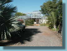 Building a new gallery... |
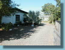 ...at the back of the old one |
||
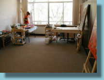 Nadeen in her studio |
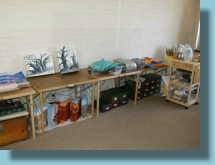 Works in progress |
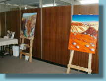 more works |
|
Day 18 - Kununurra to Katherine - Clint's 50th birthday.
We left at our normal 6a.m. but, being in the far east of the state, the sun was
already high in the sky. Only about 45km later we were in NT and the time zone
changed by one and a half hours. We were travelling straight into the sun and it
got hot quite quickly. We stopped for morning tea at a boat ramp on the Victoria
River, keeping a careful watch for Crocs. There was a new bridge across the river,
built by the military and closed off. A sign of the times perhaps?
We travelled for a while under huge red cliffs where house sized rocks had
fallen off in the past and were now sitting on the other side of the road.
Best not to think too much about that.
Fuelled up in Timber Creek and bought
extra water which we sipped from time to time as we went along, to avoid
dehydration.
No speed limits here, the roads were in good condition and the corners easily negotiable at 120 or so.
I opened her up on a long stretch but could only manage 160. Need to get those
carbies seen to.
Got to Katherine fairly early and decided to call it a day, found a shady
caravan park and an air conditioned cabin and settled in for a quiet afternoon.
Charleen brought me drinks all afternoon. Is this going to be the norm now I'm
over 50?
![]()
Total km for the day - 510
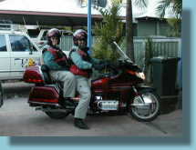 Set to ride |
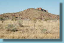 Rocks on hills |
||
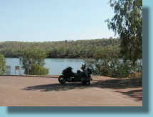 Morning tea... |
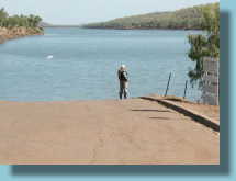 ...with crocodiles?... |
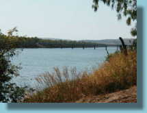 ...on Victoria River |
|
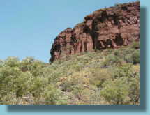 Craggy overheads |
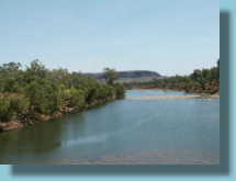 Vic River crossing |
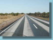 Wide Zebras? |
|
Day 19 - Katherine to Darwin
Today six o'clock was still in the dark. That's better more cool riding. Fuelled up and turned
north over roads we had never been over together. Always good to find one of
those.
Wound the clock up to 130, set the cruise and she slowed to 123 so we stayed
there all the way with only one stop for fuel. Roads in excellent condition with
few corners. the new rail line was visible here and there with big fly-overs
where needed.
We arrived in Darwin around 9.30 and reached the end of Highway 1 in the CBD. So
we suspended H1 travel for a day or so and went and explored along the many
waterfronts and beaches. What a pretty place. What a hot and humid place.
Wringing wet, we checked into a motel in town and straight into the pool. Aah!
We stayed here for two nights before returning to Katherine and
resuming the last legs of our journey.
Total for day - 350km Back to Index
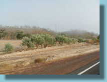 Mist over the dry country |
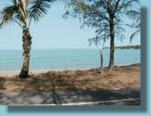 Fannie Bay |
||
 Darwin across Fannie Bay |
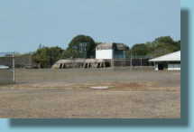 WWII 9" gun emplacement |
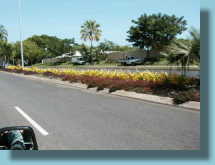 Darwin streets are well kept |
|
 The "End" of Highway 1 |
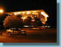 N.T. Parliament House was across the road from our motel. |
||
Day 20 - Rest Day Darwin
Slept in - 'ray!
We stayed at a lovely motel on the Esplanade and had a leisurely breakfast. Then
donned our "Tourist Riding Gear", T-shirts, shorts and sandals. Went down to
Doctor's Gully and fed the fish. Then off to the war museum at East point. My
uncle fought in Darwin during WWII so it was kinda special to us.
Lunch was out on the wharf where it has been converted to restaurants, snackbars
etc and called Wharf Precinct. Nice breezes across the water and nice barra.
Back to the room for a bit of a rest and then out to the Mindil Beach markets.
Great atmosphere and really good food. We tried bits here and there, crocodile
satays, mushroom kebabs (normal mushrooms), curries and fruit smoothies. As the
sun set an entertainer was playing soothing flute music.
Total for the day - 69km Back to Index
Day 21 - Darwin to Dunmarra
Left a little late as the room included brekky, but we were away by 7am and
headed south. Lots of miles to do today on long, hot, straight roads. We used
our water frequently.
At Daly Waters we went by the Highway 1 turnoff. No place for GoldWings along
the roads from Borroloola (NT) to Normanton (Qld).
Finished up at Dunmarra Wayside Inn where they have a cheap motel with pool. The
parking lot was deep gravel beside a narrow strip of concrete outside the rooms.
The side-stand was not going to hold up in the loose gravel so I decided to put
it up on the concrete outside our room. Got the front wheel up there but the
rear spun in the gravel, I lost balance and over we went. Damn!
Luckily Charleen was already off. Heaved Lucille upright but still had to get
back on as there was nowhere for the stand. After a few false starts and
near-drops, we finally got her up and safe. Time for a swim.
Total for the day - 639km Back to Index
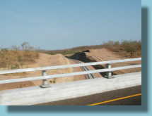 The new Alice-Darwin rail line |
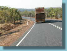 The old road train system |
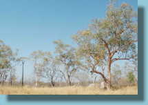 Typical Territory countryside. |
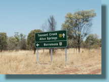 Hwy 1 turns off towards Borroloola |
Day 22 - Dunmarra to Mt Isa
We both spent the night wondering how to get Lucille off the concrete without
dropping her again. Two cars had come in and parked either side, so it wasn't
going to be easy.
6AM and out we went. Off the stand and We decided to push her out to firmer
ground. Off the concrete and into the gravel and Charleen had to give a big
shove and we were on solid ground.
The weather was cloudy and we ran into a couple of showers, but the day was warm
already and the rain was nice and cool. No need to stop for wets.
The cloud stayed with us until the Three Ways where we turned east towards the
sun.
Again the day heated up fast and we sweltered our way towards Barkly Homestead.
Tried giving Lucille her head again and this time we got to 175kph. A bit better
than the previous try. We stopped, put the windscreen up to full height and set
the wind wings to deflect out instead of in. That made it a lot hotter but this
try we made it all the way up to 185kph. Held it there for a few minutes but the
temp needle started to climb so we backed off to our normal 123. That was the
last of the high speed runs as the distance between Barkly and Camooweal was
265km and those high speed runs use a lot of juice.
In Camo we had a cool drink and an ice-cream and decided to push on to Mt Isa
while we still had good light behind us. The highway for 125km out of Camo is
really bad; narrow and bumpy. Only just enough room for a truck and a bike going
opposite directions. Truck drivers were OK but 4WDrivers were not so accurate
and kept falling off their side of the road.
Finally made it to Mt Isa and tired and sore-bummed, checked into the very first
motel.
We called up Charleen's cousin, Gordon, who lives here and we had a nice evening
with the family.
Total for the day - 973kms - a record. Back to Index
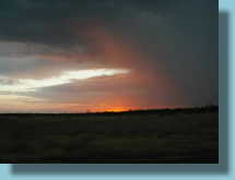 Riding into rain |
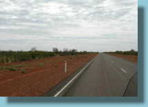 Out again |
||
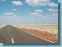 Featureless plains near Qld border |
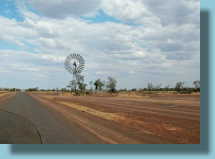 Large windmill, Camooweal-Isa road |
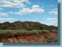 A few hills closer to the Isa |
|
Day 23 - Mt Isa to Georgetown
Left a little late from the Isa as I forgot to reset my alarm for EST. Oh well.
The road to Cloncurry is pretty good with enough to keep the driver interested.
A few roos in the early hours though and several cattle kept us on our toes.
Refuel and turn north to re-locate highway one. On the first good corner in the
last few days there was a cow standing in the middle. Bugger.
Heading north it warmed up again and we still had roads that often got narrow.
It meant riding on the very edge to let oncoming vehicles go by.
Into Normanton and there is no mention at all of Highway 1. Back out of town and
turn towards Croydon and there it is. A small white 1 shield on the road sign.
Welcome back.
The Croydon road is straight and flat and follows the rail line. Pretty boring
really. The train only runs on a Saturday and this is Sunday.
Refuelled in Croydon and an old local who served us assured us we weren't on
Highway 1 as "they moved it so it could be all bitumen years ago". We assured
him the 1 shields were still on the road signs and he promised to have a look
next time he "went to town".
We pushed on and by Georgetown we were pretty tired and called it a day.
Total for the day - 809km Back to Index
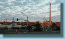 Mt Isa mine beside the town |
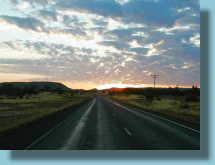 Into the sunrise |
||
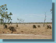 Savannah country |
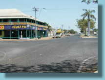 Normanton |
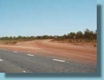 Highway 1 dirt section rejoins here |
|
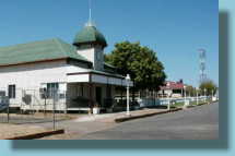 Croydon |
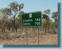 Back with our guides, the 1 shields |
||
Day 24 Georgetown to Townsville.
Off into the morning sun. Very hard to see the roos this morning. The roads were
still narrow and were to remain that way until just near Atherton. If anything
they got narrower and we found ourselves having to head for the gravel a few
times in the face of oncoming semi-trailers. Cars and caravans moved off for us.
At Ravenshoe, we were at quite high altitude and it suddenly got very cold. We
stopped for a cuppa near the big wind generators and put the sleeves back on our
jackets and dug out warmer gloves.
The ride from here into Cairns was a lot of fun with twisty mountain roads and
the cheapest fuel yet. The roads were a bit too much fun coming down the range
from Kuranda. The foot brakes overheated and gave up the ghost completely. The
pedal just went on down to the stop. Scary. Luckily the front one was still OK
and I slowed considerably.
Stopped down the bottom and there were no leaks, plenty of fluid and pads. Feel
started to return and we went off again testing them before every stop. After a
short while they came good and now work as well as before.
We stopped in Cairns for coffee and internet - plenty of places for both there.
There were three internet places side by side and another across the road.
On the road again and a couple of hours later we were cruising the Strand in
Townsville looking for a place to stay. Found a nice one and a surprisingly good
price considering the school holidays have started.
Total for the day - 755km Back to Index
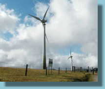 It was very windy here. Must be these wind generators! |
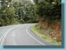 Corners at last |
 WaaHoo. Let's go! |
 Bugger. |
 Strange car in Atherton |
 Cane trains near Cairns |
Day 25 - Townsville to Rockhampton
Departed under threatening skies but nothing came from it. It was quite good to
have the cloud cover really, as Ayr is directly east and straight into the sun
again. Cruised through my old stomping ground (I was stationed there for a whole
eight months) and nothing much had changed.
Then is was down to Bowen. Lots of produce - tomatoes, corn, capsicums amongst
the sugar-cane farms. Met a truckie at a fuel stop who has a twice weekly run
with produce to Sydney and is making a good living out of it. (Unusual words
from a truckie).
The rest of the day was pretty normal. We stopped for a cuppa at the beachside
town of Claireview. Very pretty break in an otherwise boring Marlborough
Stretch.
Stopped into Rocky where this is being typed up.
Total for day - 737km Back to Index
 Morning sunshine near Ayr |
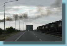 Sugar train crosses the Burdekin Bridge. Smoke is from a sugar mill. |
||
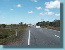 Wide loads again |
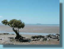 A nice rest stop at Claireview |
 Updating the web at Rocky |
|
Day 26 - Rockhampton to Home
I woke up with a sore back. Don't know why but I must have twigged something.
Thankfully sitting on the bike is bearable so we got away only a few minutes
late.
A few clouds to keep us cool and a lot of traffic to keep me busy. A sure sign
of getting back to civilization again. With the school holidays, lots of
travellers on the road, heaps of vans and many frustrated semi-drivers.
Roadworks slowed us down in many places but it was good to see the new section
near Yandina completed. A free run in from there.
We crossed the Gateway Bridge and continued past the intersection we started
from to make sure the Great Circle was complete.
Some guy beside us wondered why we were riding with arms upraised and cheering.
Total for day - 641km Back to Index
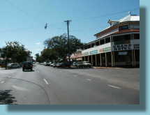 Through Childers |
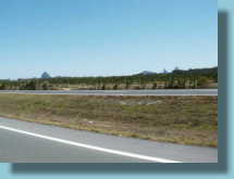 Things are looking familiar. That's the Glasshouse mountains |
||
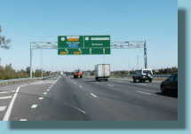 Last bits of Hwy 1 - back on the Gateway |
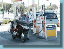 Refuel No.67 (and the cheapest) |
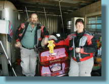 Back home and looking a bit tired. |
|
Statistics for the ride
Total Kms - 15,112
Average per day - 629 (not counting the 2 rest days)
Longest day 973 - shortest 175
Cost of fuel - $1,140.12
Total fuel used 1095 litres
Average Price per litre 104.4 cents
Number of fuel stops - 67
Most Expensive 130.1 cents/litre at Cocklebiddy on the Nullarbor
Cheapest 75.9 cents at our local Shell Cannon Hill
Fuel economy 7.2 litres/100km (14k/litre or 38mpg)
Cost per kilometre 8 cents
Food / Laundry / Internet - $1,400 on a strict budget of $50 per day. (Overdid
it in Darwin)
Motels - $1,664.70 (five days free with family/friends)
Bike costs - $599.70 for service, rear tyre and rear brake pads in Perth.
Donation to NSW Government Revenue - $127.00
Total - $4,931.52 Back to Index
Some closing thoughts.
Would we do it again? No. We've done it. We'll look for another challenge. Definitely re-visit some bits.
Was it worth it? As an achievement, I think so. Purely as a ride, it has lots of long stretches between some really good roads.
Would we recommend it for others? Not sure here. You have to like riding. I mean REALLY like riding. If you haven't been to a lot of the places before (like we have) it would probably be better to take a lot more time and a lot more detours off the highway.
Which way around is best, clockwise or anti? Depends on the time of year. In springtime it might have been better to go anti-clockwise and do the hot bits in the north a bit closer to winter. In autumn, clockwise would be the go. Winter is good up north and summer is good down south but the reverse would not be worth considering. Due to the heat and monsoonal rains and flooding, the north is a definite no-go from December to February and you would need really good cold and wet weather gear to do the south in June-July.
What's next? Well, we really should experience a Ulysses AGM or two and Tassie beckons. Then there's all those other countries. Imagine hiring a Goldwing and crossing the USA. Ideas are forming..............................................
Clint and Charleen Lovell
We've been around.
Click map for a larger version
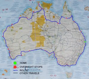
Lovell's Travel Map